Liz Bonnin introduces a video clip exploring how landforms have been shaped by glaciation in the Northern Hemisphere.
Video
LIZ BONNIN: Hi, I’m Liz Bonnin. It’s strange to think it but technically speaking we are in the middle of an ice age right now. Fortunately though, it’s a relatively warm part of one. During Earth’s 4.5 billion year history, ice ages have come and gone, with the ice sheets sometimes reaching as far as the equator.
And where that’s occurred, it’s created some of the most spectacular landscapes on the planet. So let’s look at how glaciation has created a climbers paradise in Yosemite National Park, in California. Oh and this clip comes with a warning. Watching it might require a head for heights.
IAIN STEWART: Around 3 million years ago, the continents of North and South America collided. The result? A warm ocean current that flowed around the equator was cut off. So now the warm water travelled north. Today we know this current as the Gulf Stream. Strange as it may seem, it was this warm current that tipped the planet into an ice age.
As the warm waters evaporated, this supplied more moisture to the cold northern regions of the planet, so more snow fell. And slowly, the northern hemisphere iced over, triggering a global cooling. Over the last 3 million years, the ice has advanced and retreated more than 50 times.
In a cycle governed by small changes in Earth’s orbit. If I was standing here 20,000 years ago, there would be over a kilometre of ice above my head. And even though much of that has melted and retreated away, permanent ice still covers 10 percent of the planet’s surface. So ice is still well and truly with us.
Although a few million years is just the blink of an eye in the planet’s life, this recent ice age has had an extraordinary influence on our world and on us. As we’ll discover, it changed the climate across the planet, and in doing so, it drove human evolution. And it carved out many of the most dramatic landscapes we know today.
If you head to Yosemite National Park, in California, you get a good idea just how effective ice is at shaping the landscape on a gigantic scale. Glaciers are responsible for carving out many cliffs, but few are as epic as this one: El Capitan.
It’s ice that has made El Capitan into the greatest challenge in rock climbing. And for Leo Houlding, one of the world’s top climbers, nothing quite matches it.
LEO HOULDING: We call El Cap the 'Big Daddy'. This is 1000 metres high and it’s damn near vertical the whole way. Your initial reaction is terror. Just the scale of it is really intimidating even to extremely experienced climbers. There’s basically no easy way up it, it’s the hardest cliff to climb in the world.
IAIN STEWART: 2 million years ago, Yosemite Valley looked very different. A landscape of steep V-shaped valleys carved out by rivers. But then glaciers formed in these mountains. Slowly they flowed down the valleys, grinding sideways into the hard granite rock. Gradually steepening the sides of the valley.
When the ice retreated, it left behind a deep U-shaped valley. The classic signs of glacial activity are everywhere. There are huge boulders plucked from the cliffs and carried for kilometres by the ice. Waterfalls reveal where ancient river valleys were cut off midstream. Sheer cliffs like this are absolutely typical of recent glacial activity. The rock face is almost vertical. The ice took a mountain of granite and over tens of thousands of years, cut one side of it away, which is why this cliff is so steep.
The glacier moved across the granite, grinding it with a force of over a hundred kilograms on every square centimetre. It polished the rock up a treat.
LEO HOULDING: Whoa, I’m slipping, I’m slipping. Right at the limit of friction. Urgh! (Gasps) Urgh! It’s just so smooth and slippery, urgh. You have to keep your weight close in to the wall.
IAIN STEWART: But when bad weather closes in… This rock face becomes a climbers nightmare.
LEO HOULDING: It’s getting really wet and … this glassy rock is just turning into an ice rink. In fact I might fall off here. Oh, my god. Like, there’s quite a good chance I’m gonna fall.
IAIN STEWART: It would be reckless to keep on climbing.
LEO HOULDING: Urgh! Jesus Christ.
IAIN STEWART: Leo must find one of the few refuges that El Capitan has to offer.
LEO HOULDING: We might have to … It’s alright, we’re nearly there. Even when it’s raining it’s just such an awesome sensation to be up here. (To climbing partner) Okay, Dean, I’m safe! Brilliant. What an awesome climb. Magical place. It’s like mother nature created this place for rock climbers.
LIZ BONNIN: Well this is all about physical geography and that was both. A bit of geography and a lot of physical.
Download/print a transcript of the video.
Professor Iain Stewart considers how the Northern Hemisphere was once covered in ice - a major factor in shaping the landforms seen today.
A visualisation of the Gulf Stream is shown to explain the significance of this air current to the temperature of the UK. The film then focuses on El Capitan in the Yosemite National Park, California. The region demonstrates the impact of ice on the landscape and how glaciers erode the rock to create U-shaped valleys.
Teacher notes
Download/print the Teacher Notes for this episode (pdf).
Before watching the video
Locate where Yosemite National Park is. Task students with describing the location of Yosemite National Park within the USA.
Discuss with students what they already know about glaciated landscape and whether they can identify any landforms.
Ask students where glaciated landscapes can be found in the world and show a map of where they are. Are there any surprising locations?
Introduce key terms such as:
Glacier: A slow-moving river of ice.
V-Shaped Valley: A narrow steep-sided valley.
U-Shaped Valley: A wide steep-sided valley with flat bottom.
During the video
You may wish to stop at relevant points during this short film to pose questions and check understanding or wait until the end.
Useful questions might include:
- What happened three million years ago?
- What does it mean by ice advancing and retreating?
- What is El Capitan?
- What features and landforms can you see?
- Why do people climb El Capitan?
- What is a U-Shaped Valley?
After watching
Look back at the landforms shown in the clip and investigate how they were formed. Students should draw step-by-step diagrams of the formation of a U-Shaped Valley and a V-Shaped Valley. Other real-life examples could be looked at including Nant Ffrancon valley in Wales. V-Shaped Valleys are formed by rivers, this could lead to students looking at the differences between landforms created by glacial and river processes.
Take a closer look at El Capitan and the processes that formed it. This could be explored through online mapping, enabling students to measure the height and look at the landscape in more detail.
Where next?
Use VR Glaciers to explore glaciated landscapes. A range of glaciated landscapes can be explored, including California. VR Glaciers enables a 360-degree view of a location and the ability to move through the landscape to see how glaciated landscapes change.
Curriculum notes
This topic appears in Geography at KS3 (Glaciation) and KS4 / GCSE (Glaciated landscapes) in England, Wales and Northern Ireland and National 4/5 in Scotland.
More videos from this series
What is the water cycle? video
Iain Stewart describes the water cycle including evaporation, condensation and precipitation.
How does a river change as it travels downstream? video
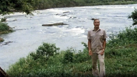
An archive clip of Sir David Attenborough as he follows the course of the Amazon River as it travels downstream.
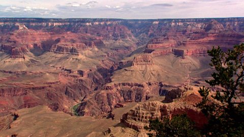
The erosion of the Grand Canyon. video
Liz Bonnin introduces the Grand Canyon - its ancient geology and what can be learned from the erosion of the rocks.
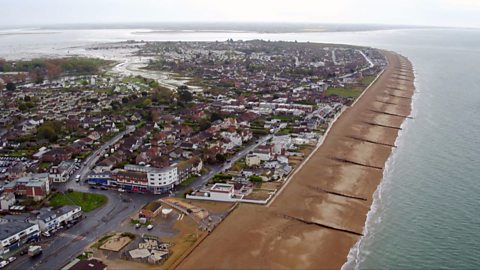
What coastal management techniques are being used on Hayling Island? video
Introduces the coastal management techniques used on Hayling Island in Hampshire to control drift and flooding.
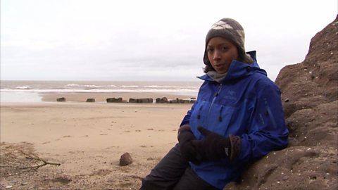
What is a ‘spit’ and how does it form through longshore drift? video
Katie Knapman explains how a spit forms through longshore drift and is a dynamic physical process, constantly changing the coastline.
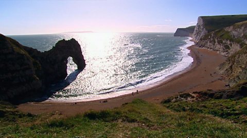
The geology of the Jurassic Coast. video
Exploring the Jurassic coastline and its geological significance with rocks spanning the Cretaceous, Jurassic and Triassic periods.
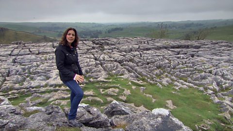
How have physical processes impacted the landscape of Yorkshire? video
Julia Bradbury explains the formation of Malham Cove including limestone pavement, highlighting the impact of glaciers on the landscape.
Glaciation and the UK coastline. video
Alice Roberts explains how Britain was once connected to Europe, but changed due to rising sea-levels following the Ice Age.
What evidence is there for climate change in the UK? video
Tom Heap considers the evidence that the UK climate might be changing - with more droughts, higher summer temperatures, but wetter winters.
How can plate tectonics impact oceans? video
Exploring how the plate tectonics impacts the coastline, focusing on California through study of the San Andreas fault.
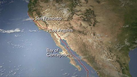
Plate tectonics in the UK - Anglesey. video
Nick Crane explores the geology and seismology of Anglesey - earthquake hot spot of the UK.
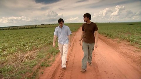
Deforestation and the growth of soya in Paraguay. video
Simon Reeves visits Paraguay to consider the deforestation that has occurred there to grow soy and the challenge of conservation vs development.