Liz Bonnin introduces a clip which examines the coastal features of a spit, backwash and longshore drift.
Video
LIZ BONNIN: Hi, I’m Liz Bonnin. Now if I say the word ‘spit’ and ‘backwash’ to you, you might think I’m about to start talking about a trip to the dentist. Don’t worry, I’m not.
This is physical geography, where a spit is a stretch of beach that juts out into the sea, and backwash is the force with which the waves return to the sea causing it to move and change.
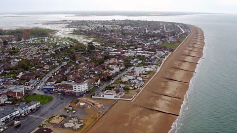
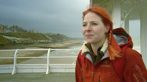
To demonstrate this, let’s check out a clip featuring Katie Knapman from the Countryfile team, who’s in Spurn Head, off the coast of Yorkshire. A place where shifting sands are a serious business.
KATIE KNAPMAN: Although this spit has been here for hundreds of years, it’s a very dynamic piece of land. It’s always on the move. The sea may have shaped it and built it, but it also has the power to move it.
Despite this constant shift, people still live and work here. There’s a permanently manned RNLI Lifeboat station at the point, and piloted boats are on hand to guide vessels through one of our busiest shipping channels.
Out there on the horizon, just over two miles away, you can just about make out a met mast, which is a piece of equipment used to measure weather conditions. It also marks the point where the coast line was in Roman times, and that shows you just how much this landscape has changed over time.
On average, the spurn moves west up to two metres, or nearly 7 feet, a year. It’s all down to longshore drift, a natural process that never rests. I’m meeting geologist, Dr Yan Zalasiewicz, from Leicester University, to find out more.
Longshore drift, classic geography term.
DR ZALASIEWICZ: It is, yes.
KATIE KNAPMAN: Can you explain that?
DR ZALASIEWICZ: Well, I suppose it’s a classic spit, which is formed by material being washed by the sea out of these cliffs of boulder clay. The waves attack them. They break them down actually at the rate of one or two metres a year. The mud and the sand and the pebbles are washed out. The waves will carry the pebbles up the beach like this. Normally coming at an angle. And then the backwash comes, so it will simply drop back down the beach here. The next wave will come, pick it up, take it diagonally again and down it goes again. So it will go on travelling, it will do a zig-zag along the beach, and simply, will carry on.
KATIE KNAPMAN: So more and more material will be taken from one side of the beach, right along, and that is how the spit will form.
DR ZALASIEWICZ: It is how the spit forms. It’s an ongoing conveyer belt. Material is always coming out of the cliffs, that’s the supply, and it’s carrying on down, and it’s just travelling. You know, it’ll travel miles and miles.
KATIE KNAPMAN: In the past, man has tried to check this movement and prevent erosion by protecting the land from the sea’s natural passage. The Victorians set up a series of sea defences to hold back the waves. They were maintained by the MOD until the late 1950s.
Since then, the Yorkshire Wildlife Trust has been responsible for the management of the spurn. Now a designated National Nature Reserve.
Andrew Gibson is the full time warden in charge and he’s going to show me around the reserve.
Now the sea is just over this bank here.
ANDREW GIBSON: It is, it’s just over on our left.
KATIE KNAPMAN: When you’ve got your spring tides, is the sea actually washing over this bit of land?
ANDREW GIBSON: It will come over. Believe it or not, that’s what we want. We want it to wash over and move westwards which is what it would do naturally.
KATIE KNAPMAN: You want nature to shape this land?
ANDREW GIBSON: We do but we need to manage it for our own benefit as well, and it’s striking that compromise between the two things.
KATIE KNAPMAN: There we go. Oh my goodness, it’s blowing a gale! So what’s the important thing about this bit of road and that bit of road?
ANDREW GIBSON: Well, that’s your traditional tarmac road which would say bad road. This is good road. This is a removable interlocking concrete block. But it allows us to do is you can see the sand migrate over this very easily, and if the dynamic coastline, as it moves, washes it away, we can pick this material up, put it back in the recycler and bring it back out. Whereas the tarmac road is fixed, it’s hard, it needs a sub-base. It’s a hard scar on the landscape should we say. Whereas what we need is dynamism.
LIZ BONNIN: I love that. The ground beneath you keeps moving, so of course, you need a road that you can recycle. Fantastic.
Download/print a transcript of the video.
Katie Knapman defines the coastal feature of a 'spit' before visiting Spurn Head to examine the impact of shifting sands.
The clip shows a spit as a dynamic landscape that is constantly changing due to longshore drift and the effect of backwash. It explains that the area used to be managed with coastal defences, before a decision to designate the area as a nature reserve without coastal management techniques.
The team visit a new road surface that is recyclable - meaning that if the coastline changes and the road needs to be moved, it can simply be picked up and relocated elsewhere.
Teacher notes
Download/print the Teacher Notes for this episode (pdf).
Before watching the video
Locate Spurn Head on a map of the UK and ask students to write a locational description.
Look at images of Spurn Head and ask students how they think it was formed. Talk about the movement of waves and ask students what processes help to shape this coastal environment.
Introduce key terms such as:
Spit: A narrow-elongated ridge of sand or shingle that projects from the mainland into the sea.
Backwash: The movement of water back down the beach after a wave has broken and washed up the shore.
Longshore Drift: The movement of sediment along the coastline due to the angled approach of waves.
During the video
You may wish to stop at relevant points during this short film to pose questions and check understanding or wait until the end.
Useful questions might include:
- What is a spit?
- Why is there a RNLI Lifeboat station located at Spurn Head?
- How has the coastline changed since Roman times?
- What is longshore drift?
- Why is the shape of the land constantly changing?
- Why are the roads at the end of the clip important?
After watching
Ask students to describe how the spit was formed at Spurn Head and which processes have created this landform.
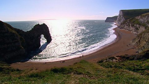
Students could create a storyboard to describe the formation of a spit and then use this information to help answer an exam style question such as “Describe the formation of a spit”. Students could be shown photographs of spits around the world to see how they are similar and different. For example, some spits are curved. Ask students why some are slightly different shapes. You could also look at examples such as Hurst Castle Spit on the south coast of the UK, ask students how old they think this spit is based on the evidence of the castle on the spit.
Ask students to draw a diagram of longshore drift, showing the different angles of swash and backwash. Ask students how we could measure longshore drift if we were to complete fieldwork on this.
Where next?
Use GIS to explore a range of different spits. The measuring tool could be used to see how long they are as well as looking at different layers such as OS maps to look at relief and aerial photography to look at how the spit is being used.
Curriculum notes
This topic appears in Geography at KS3 (Hydrology) and KS4 / GCSE (Rivers and water) in England, Wales and Northern Ireland and National 4/5 in Scotland.
More videos from this series
What is the water cycle? video
Iain Stewart describes the water cycle including evaporation, condensation and precipitation.
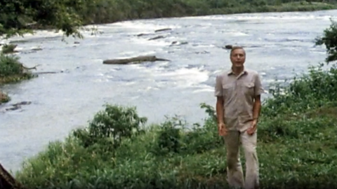
How does a river change as it travels downstream? video
An archive clip of Sir David Attenborough as he follows the course of the Amazon River as it travels downstream.
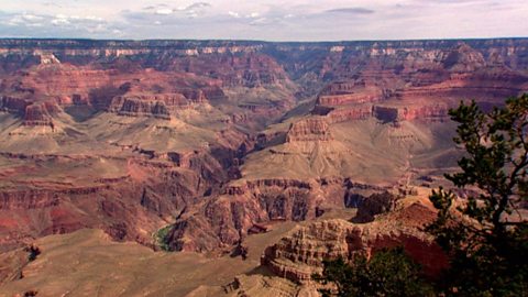
The erosion of the Grand Canyon. video
Liz Bonnin introduces the Grand Canyon - its ancient geology and what can be learned from the erosion of the rocks.
What coastal management techniques are being used on Hayling Island? video
Introduces the coastal management techniques used on Hayling Island in Hampshire to control drift and flooding.
The geology of the Jurassic Coast. video
Exploring the Jurassic coastline and its geological significance with rocks spanning the Cretaceous, Jurassic and Triassic periods.
How have physical processes impacted the landscape of Yorkshire? video
Julia Bradbury explains the formation of Malham Cove including limestone pavement, highlighting the impact of glaciers on the landscape.
Glaciation and the UK coastline. video
Alice Roberts explains how Britain was once connected to Europe, but changed due to rising sea-levels following the Ice Age.
How has glaciation shaped the landforms of the Northern Hemisphere? video
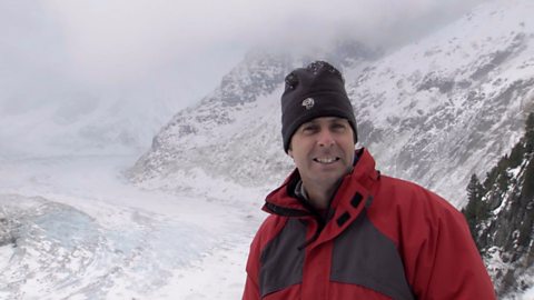
Iain Stewart explains the glaciation of the Northern Hemisphere, focusing on the Yosemite Valley in California.
What evidence is there for climate change in the UK? video
Tom Heap considers the evidence that the UK climate might be changing - with more droughts, higher summer temperatures, but wetter winters.
How can plate tectonics impact oceans? video
Exploring how the plate tectonics impacts the coastline, focusing on California through study of the San Andreas fault.
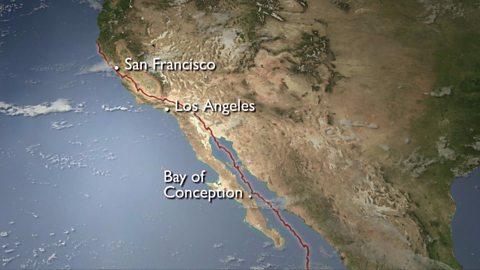
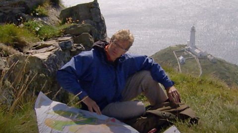
Plate tectonics in the UK - Anglesey. video
Nick Crane explores the geology and seismology of Anglesey - earthquake hot spot of the UK.
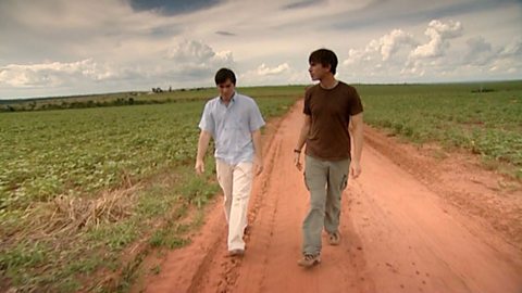
Deforestation and the growth of soya in Paraguay. video
Simon Reeves visits Paraguay to consider the deforestation that has occurred there to grow soy and the challenge of conservation vs development.