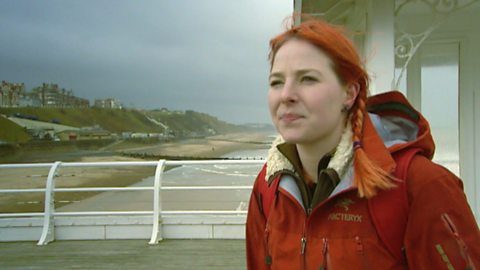
Liz Bonnin introduces a clip exploring the tectonic plate movement and geological significance of Anglesey.
Video
LIZ BONNIN: Hi, I’m Liz Bonnin. When we think about plate tectonics, we normally picture erupting volcanos, gigantic mountain ranges like the Himalayas, or terrifying tsunamis and earthquakes, but rarely do we picture scenes from around the coast of the UK.
Well time to change that thinking, as Nick Crane discovers the fault lines and earthquakes around Anglesey on Wales’ north coast…
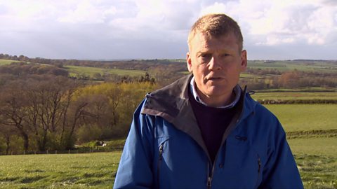
NICK CRANE: Many make their way to these cliffs for the glorious sights looking out to sea, but what’s brought me here are the rocks beneath my feet.
On the island’s edge, you see a slice right through the Earth’s geological history. An extraordinary collection of rocks are exposed here.
Just to show you how different Anglesey is, look at this geological map of southern Britain. Great swathes of it are all the same colour, meaning they’re all the same rock type.
Here’s this great band of chalk running up here in green, there’s another huge band of limestone running down here. But up here on Anglesey, something different is happening. There’s an intense mosaic of different colours, meaning there are many different rock types.
Much of the mystery of Anglesey’s formation is buried below the turf. But the coast reveals the island’s subterranean secrets. The most stunning geological feature is the long channel of water that separates Anglesey from the mainland: the Menai Strait.
To understand its significance, I’m with David Schofield, from the British Geological Survey.
What part does this gulf play in Anglesey’s geology?
DAVID SCHOFIELD: Well this is actually a long fault zone which we call the Menai Straits Fault System. I mean, it separates very much older rocks to the north-west than those to the south-east. We’re looking at a fundamental geological divide here, which we know is still active today because we’re seeing some of Britain’s biggest earthquakes just happening along this fault line.
NICK CRANE: Right where we’re standing?
DAVID SCHOFIELD: Right where we’re standing, yes.
NICK CRANE: So the shore we’re on here is moving in relation to the shore over there?
DAVID SCHOFIELD: It certainly is, yes. It’s at a very slow rate every year, and every now and then it takes a bit of a jump and then there’s an earthquake.
NICK CRANE: Around 300 small earthquakes shake Britain each year. Often felt most strongly here, caused as the mainland grinds against Anglesey.
It’s part of the bigger movement of landmasses around the globe. The Earth’s crust is made up of separate distinct plates, which are constantly moving against each other.
Where the edges of the plate move apart, new crust is created about as fast as your fingernails grow. The plates of crust pull apart at one edge but collide at the other edge.
As they crush into each other, a jumble of different rocks is left behind. Local geologist, Margaret Wood, is my guide.
Wow! Just look at that! Those colours, Margaret!
MARGARET WOOD: It’s fantastic, isn’t it!
NICK CRANE: So many shapes too. It looks like a great big blancmange.
MARGARET WOOD: It’s wonderful isn’t it. Those are quartz rich rocks, you’ve got limestone over there, and you’ve got schists, you’ve got conglomerate. And the colours are fantastic, aren’t they?
NICK CRANE: So this is two plates of the Earth’s crust colliding?
MARGARET WOOD: Exactly.
NICK CRANE: In the hundreds of millions of years Anglesey’s been moving around the globe, collisions and splits in the Earth’s crust have created an astonishing array of rocks.
LIZ BONNIN: A couple of amazing facts in that clip: Anglesey is its own tiny tectonic plate and we get 300 mini earthquakes in the UK every year. Almost one a day. That’s just my camera man mucking about.
Download/print a transcript of the video.
Liz Bonnin introduces the geological significance of Anglesey and what it reveals about plate tectonics.
Nick Crane uses a map to compare the geology of Anglesey to that of the rest of the UK, highlighting how it is different because of the diversity of rock types. The team visit the Menai Straight, where some of the biggest earthquakes in the UK occur, and discuss how the land either side is moving (very slowly)!
A visualisation of the Earth’s tectonic plates is shown to demonstrate what is happening at the fault line. The film explains how a mix of different rock types is left behind by the forces at a tectonic fault.
Teacher notes
Download/print the Teacher Notes for this episode (pdf).
Before watching the video
Look at a geologic map of the UK and zoom into Anglesey. Ask students what they can see and what the different rock types are using the key. Ask students to predict why different rocks are found in this location.
A map of tectonic plates could also be investigated to help students where the different tectonic plates are located and in which direction they move.
Introduce key terms such as:
Subterranean: Existing, occurring, or done under the Earth's surface.
Tectonic plates: Slabs of crust.
Geology: The science that deals with the earth's physical structure and substance, its history, and the processes that act on it.
Geologist: A scientist who studies geology.
Fault zone: A region where rocks have deformed due to tectonic forces where there are multiple faults.
During the video
You may wish to stop at relevant points during this short film to pose questions and check understanding or wait until the end.
Useful questions might include:
- What is the Menai Strait?
- What does a geologist do?
- What types of rocks can be found in Anglesey?
- Why do earthquakes still occur in this location?
- How fast is new crust created?
- What evidence is there of plate movement?
After watching
Discuss with students their predictions about why the rock types are different. Were they correct? Were they surprised with anything they saw in the clip?
Visit the British Geological Survey website to investigate where earthquakes have occurred in the UK in the last 60 days. Have there been any near the Menai Strait? What do students notice about the depth and magnitude of those earthquakes? There could also be a discussion around why the UK doesn’t experience earthquakes at the same magnitude as other locations such as Japan.
In 1984 there was a magnitude 5.4 earthquake, which was the one of the largest experienced in the UK. Task students with researching this earthquake, its causes and its impacts.
Where next?
Examine igneous and metamorphic rocks in the UK.Look at a geology map of the UK, can igneous and metamorphic rocks be found in the UK? Is there a pattern to where they are found.
What characteristics do igneous, metamorphic and sedimentary rocks have? If samples of these rocks are available, hand these out to students. Can students classify these rocks based on the characteristics discussed?
Curriculum notes
This topic appears in Geography at KS3 (Plate Tectonics) and KS4 / GCSE (Plate Tectonics) in England, Wales and Northern Ireland and National 4/5 in Scotland.
More videos from this series
What is the water cycle? video
Iain Stewart describes the water cycle including evaporation, condensation and precipitation.
How does a river change as it travels downstream? video
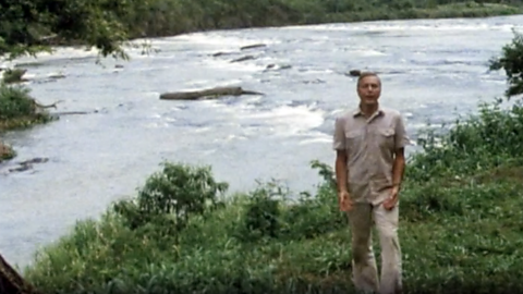
An archive clip of Sir David Attenborough as he follows the course of the Amazon River as it travels downstream.
The erosion of the Grand Canyon. video
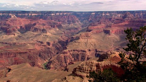
Liz Bonnin introduces the Grand Canyon - its ancient geology and what can be learned from the erosion of the rocks.
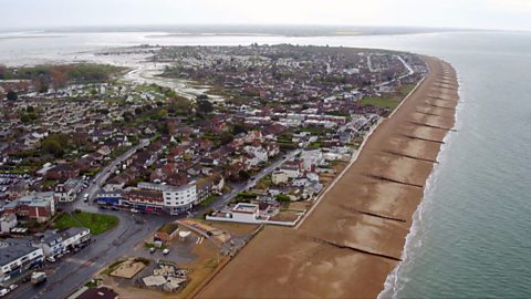
What coastal management techniques are being used on Hayling Island? video
Introduces the coastal management techniques used on Hayling Island in Hampshire to control drift and flooding.
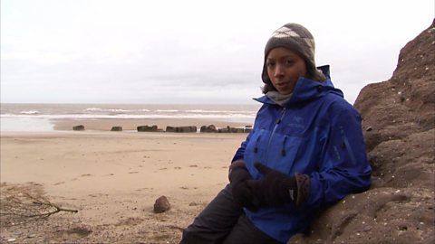
What is a ‘spit’ and how does it form through longshore drift? video
Katie Knapman explains how a spit forms through longshore drift and is a dynamic physical process, constantly changing the coastline.
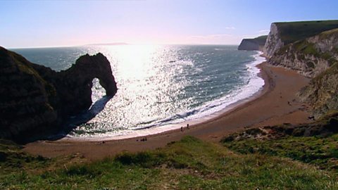
The geology of the Jurassic Coast. video
Exploring the Jurassic coastline and its geological significance with rocks spanning the Cretaceous, Jurassic and Triassic periods.
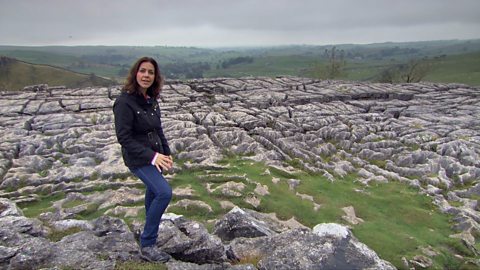
How have physical processes impacted the landscape of Yorkshire? video
Julia Bradbury explains the formation of Malham Cove including limestone pavement, highlighting the impact of glaciers on the landscape.
Glaciation and the UK coastline. video
Alice Roberts explains how Britain was once connected to Europe, but changed due to rising sea-levels following the Ice Age.
How has glaciation shaped the landforms of the Northern Hemisphere? video
Iain Stewart explains the glaciation of the Northern Hemisphere, focusing on the Yosemite Valley in California.
What evidence is there for climate change in the UK? video
Tom Heap considers the evidence that the UK climate might be changing - with more droughts, higher summer temperatures, but wetter winters.
How can plate tectonics impact oceans? video
Exploring how the plate tectonics impacts the coastline, focusing on California through study of the San Andreas fault.
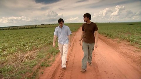
Deforestation and the growth of soya in Paraguay. video
Simon Reeves visits Paraguay to consider the deforestation that has occurred there to grow soy and the challenge of conservation vs development.