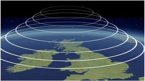
Monthly Outlook

- Published
Throughout the next couple of weeks, temperatures are most likely to stay above average but there will be decreasing chances of excessive heat.
A changeable period and modest cooling may occur around and after mid-July but temperatures will most probably stay above normal into early August.
Friday 10 to Sunday 19 July
Warmer than average. Some hot days. Storms later
The weekend will see high pressure centred just north-west or north of Scotland but still exerting its influence across the UK. Any showers or thunderstorms over Scotland and northern England should peter out, so it will be largely dry but it will become breezy or windy, especially the farther south you are and particularly from Sunday into Monday.
Temperatures should ease a little, especially in the east and north, while remaining above average and still exceeding 30 degrees Celsius in some central and southern areas of England and in eastern Wales.
During the first half of the coming week high pressure should remain centred north of the UK, promoting further dry weather in most areas with temperatures largely remaining above normal, and still well above in the south. However, there will be exceptions including a few heavy and thundery showers that may develop chiefly in south-west England and South Wales. In addition some eastern coasts may be plagued by low cloud and sea-fog. That would make conditions cooler than elsewhere.
Further 30 degree heat should occur through to the middle of week in parts of southern and central England but the second half of the week should see temperatures easing while more changeable weather evolves.
Scattered showers should develop, probably mostly across southern parts of England and Wales, giving some localised heavy bursts of rain, with an increasing chance of thunderstorms.
Monday 20 to Sunday 27 July
Changeable but mostly warmer than average
Throughout late July the pressure pattern signals are less clear. To start this period low pressure systems could be aimed more at the southern UK, where further heavy showers and thunderstorms are probable.
The northern extent of the wettest and stormiest conditions is uncertain but a few scattered showers could appear almost anywhere. North-western regions may be the driest for just a few days.
However, as time goes by the pattern is likely to change, with high pressure becoming centred west then south-west but expanding across the UK at times. This should also allow Atlantic low pressure and frontal systems to bring wetter and windier weather across northern and western regions at some point but southern and eastern areas may stay drier with temperatures increasing again.
The strength and position of high pressure will be crucial though – farther east and it could be hotter but there is a chance of weaker high pressure, making the weather wetter, windier and cooler more widely.
Monday 28 July to Sunday 9 August
Temperatures still near or above normal
From the end of July into the start of August there are conflicting and weak signals for the pressure pattern. Most probably high pressure should linger to the south-west, occasionally extending a ridge across the UK but weakening enough at times to allow further Atlantic systems to bring periodic bands of rain. These will be interspersed with brighter but showery episodes. The wettest conditions are likely to be across Scotland.
It should be less wet the farther south and east you are, but it may not be persistently dry, with chances of occasional rain bands or showers. Total rainfall amounts could be near to below average in these areas, with a chance of stronger heat returning.
There is again a possibility that high pressure will be weaker, though, making for wetter and less warm conditions across wider areas.
Further ahead
In Tuesday's outlook we will see if there is more clarity on the position of high pressure areas and their impact on temperatures.
- Published1 May
- Published22 June

- Published7 April 2022